Project
Ann Arbor Living Lab Interactive Map
Type
Mapping, Data Visualization, Qualitative Research
Role
Researcher, Designer
Deliverables
Michigan Mobility map, coded interviews, and a research publication
Map
This project served the dual purpose of producing a map of Ann Arbor's mobility ecosystem and generating data for my first-year doctoral research project in 2020/2021. I conducted roughly 45 interviews with stakeholders across the mobility ecosystem to understand how mobility was “made” in southeastern Michigan. Part of this process was visualizing data on startups and on new mobility projects started by large corporations, to understand (1) the spatial distribution of finance in SE Michigan, (2) which industry sectors are most prevalent, and (3) what types of partnerships are forming through innovation zones or proving grounds. The research ended with the production of the map, and from there I began to draft the paper.
First, we filed an IRB application that laid out the intentions of the research and the terms of the research partnership. Once it was approved, I began the research using data Ann Arbor SPARK gave me along with my own independent research. After I set a list of research participants, I conducted brief 30-minute semi-structured interviews that I developed in partnership with Ann Arbor SPARK. As we went, I joined the qualitative data with quantitative and spatial data to produce the map linked on this page. The map was meant to be descriptive, to show the Ann Arbor community what kinds of innovation were happening in their backyards, and to help entrepreneurs and innovators looking for a home for their startup or economic development project.
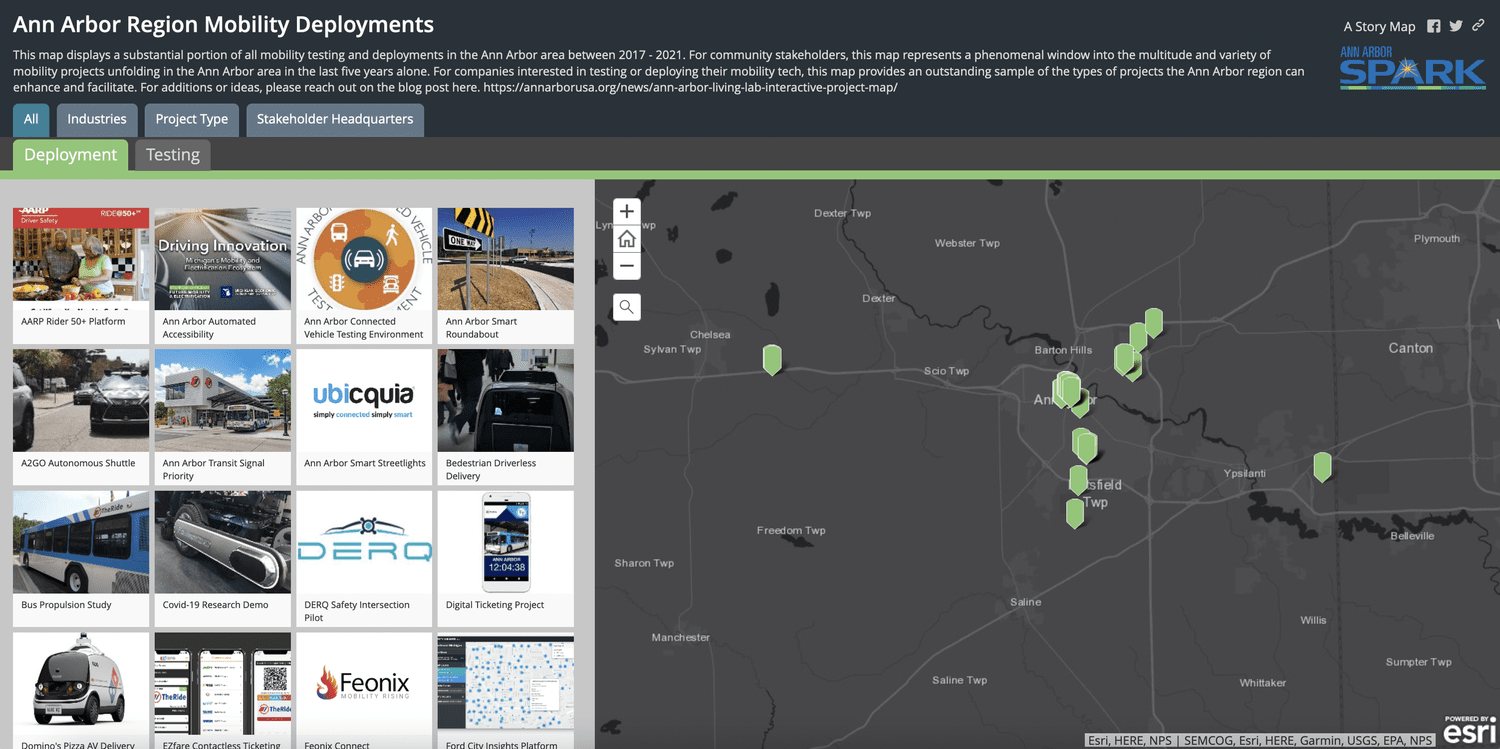
01/02
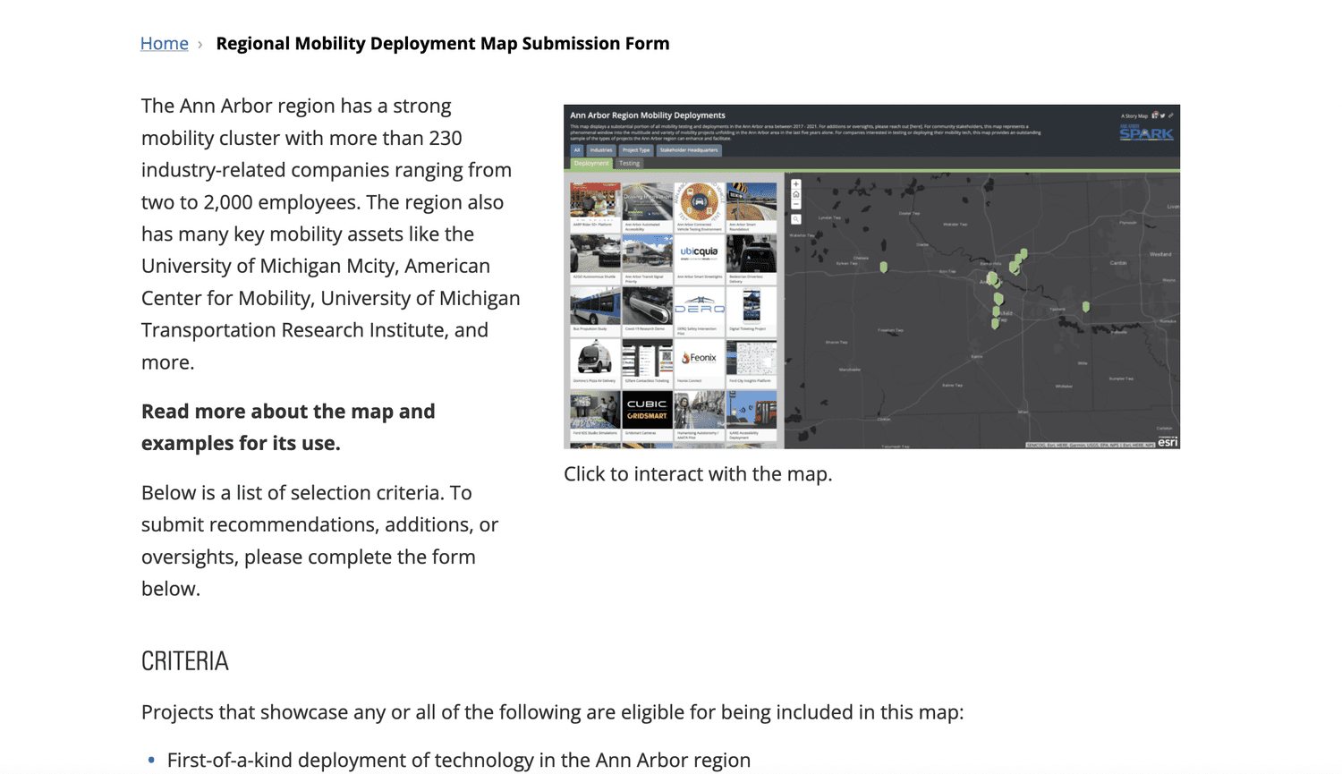
02/02